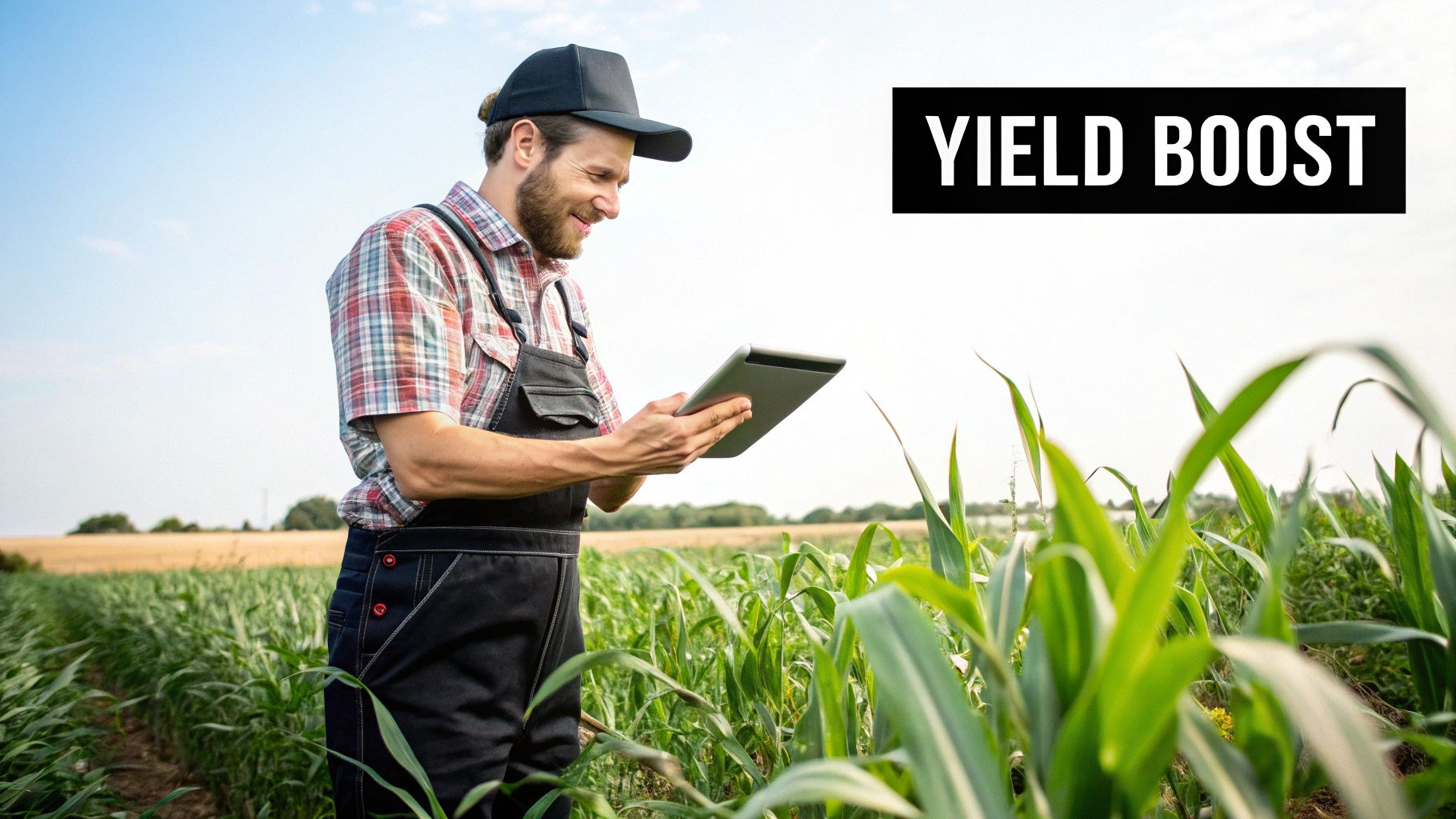
Agriculture GPS Tracking: Transform Your Farm Operations
Master agriculture GPS tracking with proven strategies from successful NZ farmers. Discover practical implementation tips and real ROI results.
Understanding GPS Technology That Actually Works On Farms
To get a handle on agriculture GPS tracking, it's helpful to think of it not as abstract satellite science, but as your farm's digital nervous system. This is the core technology that lets different parts of your operation know their precise location and coordinate actions with remarkable accuracy. At its heart, a GPS receiver on your tractor or harvester listens for signals from a network of satellites orbiting Earth. By calculating how long it takes for these signals to arrive, the receiver can pinpoint its exact position on the globe. For a deeper look at the basics, you can check out our guide on finding your way with GPS.
This basic location data is just the start. The real power for farming comes from the level of accuracy that can be reached and how that information is applied. For many farmers in places like Canterbury, this means going beyond simple guidance to stop overlap when spraying. They are now using more advanced systems that provide consistent, repeatable precision.
From Basic Guidance To Centimetre Precision
How effective agriculture GPS tracking is depends heavily on its accuracy. Different jobs on the farm have different needs, and matching the right technology to the task is crucial for getting a good return on your investment.
- Sub-metre Accuracy: This is often the starting point for many farms. It’s good enough for tasks like broad-acre fertiliser spreading or general field scouting. It helps avoid major overlaps and gaps but isn't quite precise enough for row cropping or seeding.
- Decimetre Accuracy (10-30 cm): This level of precision is a major step up. It's well-suited for spraying and cultivation, making sure each pass is much closer to the last. This is where you begin to see real savings on inputs like fuel and chemicals.
- RTK (Real-Time Kinematic) Accuracy (2-3 cm): This is the gold standard for precision agriculture. RTK uses a local base station or a network to fix satellite signal errors in real time, achieving centimetre-level accuracy. This is vital for jobs like direct drilling, strip-tillage, and controlled traffic farming, where exact placement is critical year after year.
Here is an example of what a modern precision agriculture interface, which incorporates this location data, looks like.
This screen shows how GPS data is turned into a visual map. It lets farmers manage specific zones within a paddock instead of treating the entire field as a single, uniform area.
Integrating GPS With Your Existing Gear
A common worry for Waikato dairy operators and arable farmers alike is whether new tech will work with their current machinery. The good news is that most modern equipment from brands like John Deere, Case IH, and New Holland comes "guidance-ready." What's more, there are excellent retrofit options from specialists like Trimble that can add high-precision GPS capabilities to older machines.
The technology also goes beyond just tracking vehicles. The combination of the Internet of Things (IoT) and GPS in New Zealand's agriculture is improving farm management with precise, real-time data. IoT devices, often using GPS for location-specific information, can monitor soil moisture, pH levels, and nutrient status across different paddocks. You can find out more about how IoT is being used for precision agriculture in New Zealand. This combined data allows for smarter, more responsive farming decisions.
Proven Applications Driving Real Results Across NZ Farms
Past the technical talk of satellites and signals, the true value of agriculture GPS tracking is seen in the practical results it brings to the farm. Across New Zealand, from Taranaki's rolling hills to Canterbury's vast plains, farmers are using this technology to tackle daily operational hurdles and improve their bottom line. These are not abstract concepts; they are measurable gains shaping the future of Kiwi farming.
This shift is clear in the numbers. The agricultural technology sector in New Zealand shows strong adoption of GPS tracking. By mid-2025, it is estimated that over 9,000 farms are using advanced farming apps that link with GPS for detailed field management. You can learn more about this trend and see how New Zealand farming apps are expanding globally. This data points to a definite move towards using solid information to make decisions in the field.
Precision Application and Field Mapping
One of the most effective uses is variable rate application (VRA). Think of it as switching from a wide paintbrush to a fine-tipped pen. Instead of spreading a single rate of fertiliser or effluent across an entire paddock, GPS-guided machinery can adjust how much is applied in real-time based on pre-loaded maps. These maps, built from soil tests, yield data, or drone imagery, divide a paddock into distinct management zones. A farmer in South Canterbury, for instance, can apply more nutrients to a less fertile spot and less to an area that is already rich, making the most of inputs and cutting down on waste.
This same idea is behind precision seeding. By pairing GPS with advanced planter controls, farmers can achieve almost perfect seed placement and density. This gives every seed the best possible start. This level of accuracy was once just an idea but is now a practical tool on many NZ farms.
Likewise, GPS-enabled field mapping builds a detailed digital history of your farm. This is more than just drawing boundaries; it’s about logging every tractor pass, every spray application, and every harvest yield from specific areas. These detailed maps are becoming crucial for creating compliance records for environmental reporting. They also serve as a priceless asset for farm succession, passing down decades of knowledge in a clear, digital format.
Enhancing Efficiency and Safety
The long hours in the cab during planting and harvesting can cause serious operator fatigue, which often leads to mistakes. Automated steering systems, commonly known as autosteer, from providers like Trimble, Topcon, and Ag Leader, directly solve this problem. These systems use high-precision GPS to guide the tractor along perfectly straight or curved paths, pass after pass.
This technology delivers several key benefits:
- Reduced Operator Fatigue: The driver can focus on monitoring the implement instead of struggling to keep the tractor on a straight line.
- Improved Pass-to-Pass Accuracy: This cuts down on expensive overlaps and gaps, saving fuel, seed, and chemicals.
- Extended Operating Hours: Work can continue into the night or in low-visibility conditions with the same high level of accuracy.
To illustrate how GPS fits into different farming operations across New Zealand, the table below compares its applications and benefits for dairy, arable, and horticulture farms.
| Farm Type | Primary GPS Applications | Key Benefits | Equipment Integration |
|---|---|---|---|
| Dairy Farming | Effluent management (VRA), pasture measurement, livestock tracking (GPS collars), virtual fencing. | Improved nutrient placement, reduced environmental impact, optimised grazing rotations, enhanced animal welfare monitoring. | Tractors with spreaders, quad bikes with pasture meters, GPS ear tags/collars. |
| Arable/Cropping | Autosteer for planting & harvesting, VRA for fertiliser & seed, yield monitoring, field mapping. | Reduced input costs (fuel, seed), minimised soil compaction, increased yield potential, accurate compliance records. | Tractors, combine harvesters, planters, sprayers. |
| Horticulture/Viticulture | High-precision autosteer for narrow rows, targeted spraying, individual plant health monitoring (drones with GPS), harvest logistics. | Protection of high-value crops, reduced chemical use, labour efficiency, consistent quality control. | Specialised narrow tractors, drone sprayers, automated harvesters. |
As the table shows, while the core technology is the same, its application is customised to meet the unique demands of each farm type, from managing pasture on a dairy farm to protecting delicate vines in a vineyard.
Platforms like the John Deere Operations Center show how this data is brought together. Farmers can manage their equipment and field data from a single dashboard, providing a clear view of their entire operation.
This interface shows how agriculture GPS tracking is built into a complete farm management system, offering a real-time overview of machine location, performance, and field progress.
Environmental Wins That Boost Your Bottom Line
Adopting new technology often comes down to the numbers, and agriculture GPS tracking is no different. What’s changing is how those financial benefits are now directly tied to environmental care. In New Zealand, where farming is woven into the health of our land and waterways, using GPS isn’t just a "nice-to-have" for green credentials; it’s a practical strategy for profitable, sustainable farming in an age of increasing regulation.
This technology is a key tool for meeting national objectives. Agriculture GPS tracking is a cornerstone of the precision agriculture movement, supporting the country's goals under the 2019 Zero Carbon Act. By allowing farmers to apply inputs like fertiliser and water only where they are truly needed, GPS directly cuts down on over-application. This, in turn, reduces associated nitrous oxide emissions. You can learn more about how precision agriculture contributes to New Zealand's goals.
Reducing Inputs and Protecting Waterways
One of the most immediate wins—for both your wallet and the environment—comes from precision application. When you guide machinery with GPS, you can dramatically reduce input waste. For instance, some studies show that precise nitrogen fertiliser application can cut usage by up to 15% without affecting your yield. This directly tackles freshwater management regulations by minimising nutrient runoff into streams and rivers, all while trimming a major expense from your farm budget.
This accuracy extends to chemical applications too. With GPS autosteer, sprayer boom sections switch off automatically when passing over areas that have already been treated or when nearing sensitive boundaries like waterways or shelterbelts. This not only protects the local ecosystem but also creates a clear digital record, giving you solid proof of responsible practice for compliance reporting.
Building Healthier Soils and Cutting Fuel Costs
Beyond what you apply to the land, GPS tracking changes how you interact with the soil itself. A brilliant example of this is Controlled Traffic Farming (CTF), a system where all machinery uses the same permanent wheel tracks, year after year. This level of consistency is only possible with centimetre-accurate GPS guidance.
The advantages of CTF are significant:
- Reduced Soil Compaction: By keeping heavy machinery to specific lanes, the other 80-90% of the paddock remains uncompacted and healthy.
- Improved Water Infiltration: Looser, healthier soil soaks up rainfall far more effectively, which reduces water runoff and erosion.
- Lower Fuel Consumption: Driving on hard, established tracks requires less energy than pushing through soft, tilled ground, leading to real fuel savings over time.
This method, along with precision no-till operations guided by GPS, also helps improve the soil's ability to store carbon. The data from Stats NZ below gives a sense of the agricultural scale these technologies can positively affect.
The screenshot shows the sheer scale of New Zealand's primary sector, illustrating how widespread improvements in farm efficiency and environmental management can make a real difference nationally.
By using agriculture GPS tracking, you’re not just optimising field patterns; you’re building a more resilient and profitable farm. The data you collect provides a verifiable record of your environmental efforts, making audit preparations simpler and demonstrating a commitment that resonates with processors, consumers, and regulators alike. This builds a powerful advantage in an increasingly environmentally-aware market.
Choosing GPS Systems That Actually Fit Your Operation
Picking the right agriculture GPS tracking system is a big decision; the wrong one can be an expensive and frustrating mistake. The market has everything from simple lightbar systems to highly advanced RTK solutions, and knowing the practical differences is crucial. Think of it like choosing a vehicle: a basic ute is perfect for general farm tasks, but you’d want a heavy-duty truck for serious hauling. The same idea applies here – the goal is to match the technology to the job at hand.
Accuracy: Matching Precision to the Task
The biggest factor in your decision is the level of accuracy your operation truly needs. Not every job requires centimetre-perfect precision, and paying for it when it's not necessary is a poor use of funds.
-
Basic Guidance (Sub-metre Accuracy): For broadacre spraying or fertiliser spreading, entry-level systems like lightbars are a great starting point. They give you a visual guide to reduce major overlap, which saves money on inputs. However, their pass-to-pass accuracy isn't consistent enough for tasks that need exact row placement.
-
Advanced Guidance (Decimetre to Centimetre Accuracy): When it comes to direct drilling, strip-tillage, or setting up permanent wheel tracks, a much higher level of precision is needed. This is where you'll find solutions from providers like Trimble, which has local dealers across New Zealand. These systems often use Real-Time Kinematic (RTK) correction signals to achieve repeatable, centimetre-level accuracy, making sure every pass is exactly where it should be, year after year.
To help you decide what level of precision and investment makes sense for your farm, here's a comparison of common GPS systems available in New Zealand.
| System Type | Accuracy Level | Annual Cost (NZD) | Best Applications | Available in NZ |
|---|---|---|---|---|
| Lightbar Guidance | 15-30 cm (sub-metre) | $0 (hardware only) | Fertiliser spreading, broadacre spraying, basic cultivation | Yes |
| Assisted Steering | 10-20 cm (decimetre) | $0 - $1,500 | Spraying, seeding, tillage where moderate accuracy is sufficient | Yes |
| RTK Auto-Steer | 2-3 cm | $1,500 - $3,000+ | Strip-tillage, direct drilling, planting, controlled traffic farming | Yes |
| WAAS/EGNOS | 15-30 cm | $0 | Basic guidance, yield mapping, broadacre applications | Yes |
This table shows a clear trade-off: as accuracy increases, so do the ongoing costs. The key is to match the system's capability to the financial return you expect from that level of precision.
Looking Beyond the Hardware
The initial price tag is only one part of the equation. A successful agriculture GPS tracking setup involves ongoing costs, software compatibility, and reliable support. As you look at your options, keep these key factors in mind:
-
Subscription Costs: High-accuracy systems often need an annual subscription to a correction signal network to keep their precision. These fees can be a notable ongoing expense and must be included in your budget.
-
Software Integration: Your GPS system should work well with your existing farm management software. Check for compatibility with popular New Zealand platforms like FarmIQ and Figured to ensure data flows smoothly for financial and operational planning.
-
Dealer Support: When technology fails during a critical time like planting or harvesting, quick and knowledgeable local support is priceless. The quality of support from your local dealer can be just as important as the hardware itself.
Many farmers find that starting with a more basic system and upgrading as their needs change is a smart approach. The main thing is to work out when the return on investment from greater accuracy—through input savings and yield improvements—justifies the extra cost and complexity.
Getting Started Without Breaking The Bank Or Your Routine
The biggest mistakes with agriculture GPS tracking often happen during the initial setup. A sudden, farm-wide overhaul can create chaos, but a phased approach minimises disruption while securing early wins. Think of it like introducing a new stock feed; you start with a small group to see the results before rolling it out to the entire herd. The same logic applies here. Begin with the operations that promise the quickest and most visible return on your investment.
For many successful New Zealand farmers, this means targeting high-value activities first. These are the jobs where even small improvements in accuracy deliver significant cost savings. For example, starting with fertiliser application or direct drilling often makes the most sense. The immediate reduction in input costs from eliminating overlap provides a clear financial victory that builds momentum and confidence in the technology. Once you have mastered GPS in one area and seen the benefits, expanding to other operations like spraying or cultivation becomes a much more straightforward process.
Preparing Your Team and Managing Your Data
Technology is only as good as the people using it. Preparing your team for this change is essential for a smooth transition. Success lies in creating a training plan that works for everyone, from the operator who has farmed the same land for decades to a younger team member who is more comfortable with new gadgets.
Practical, hands-on training is far more effective than just handing someone a manual. Try these approaches:
- On-Machine Training: Get your dealer representative to spend time in the cab with each operator, running through real-world scenarios in your own paddocks.
- Peer-to-Peer Learning: Identify a tech-savvy team member who can act as an internal champion. They can provide day-to-day support and help colleagues who are less confident.
- Focus on the "Why": Explain how GPS tracking reduces fatigue and makes their job easier, rather than just focusing on the technical steps.
Alongside training, you need a simple plan for managing the information your new system will generate. The goal is to avoid data overload. Initially, focus only on the core metrics that directly influence your decisions, such as overlap percentages or total area covered. You can integrate this data with farm management platforms like AgriGate to see a bigger picture without getting lost in details.
For instance, this dashboard from AgriGate shows how data from various sources can be brought together in one place.
This kind of interface helps turn raw GPS data into actionable insights for pasture management and feeding decisions, making the technology a practical part of daily planning.
Practical Tips for a Smooth Rollout
Integrating agriculture GPS tracking is about fitting it into your existing practices, not completely overhauling systems that already work. Real-world implementation stories show that timing and planning are everything.
Consider these practical points:
- Seasonal Timing: Plan to install and learn the system during your farm’s quieter season. Trying to master new technology in the middle of a frantic planting or harvest period is a recipe for frustration.
- Have a Backup Plan: Technology can fail. Know what you will do if your GPS system goes down during a critical operation. This might mean having a backup lightbar system or being prepared to revert to manual guidance temporarily. Your local service provider, like us at Mobile Systems, can be a vital part of this plan.
- Set Realistic Expectations: There will be a learning curve. Expect some initial hiccups and allow time for operators to become proficient. The full benefits of GPS tracking across your entire operation will build over time as skills and confidence grow.
Measuring Success And Maximising Your GPS Investment
Putting agricultural GPS tracking on your gear is one thing, but proving it’s pulling its weight is another. The real value comes when you can measure its effect and use that information to make better decisions. Successful farmers don't just "set and forget" their GPS; they actively track performance to maximise their return.
This process starts before you even install the system. You need a clear baseline to measure against. Think about your current fuel use per hectare, what you typically spend on inputs for a certain paddock, and the average labour hours for key jobs. Only by knowing where you started can you truly see how far you've come.
It's important to focus on the right numbers. A technical detail like a reduced overlap percentage is a direct measure of GPS accuracy, but the bigger business outcomes are what really count. For a crop farmer, this might be a higher profit per hectare. For a dairy operator, it could be better pasture use or more accurate effluent spreading records for compliance. These are the figures that prove the system's worth to accountants, bank managers, and family members.
Turning Data into Decisions
The information from agricultural GPS tracking is more than just a map of where a tractor went. It's a rich source of field analytics that can show you hidden patterns in productivity and highlight chances for improvement. By comparing yield maps with application maps, you can begin to see which parts of your farm are performing well and which aren't, then figure out why. This deeper knowledge supports smarter decisions about crop rotation, soil care, and how you use your resources.
For example, a high-performing operation in Hawke's Bay might use several years of GPS-logged yield data to pinpoint consistently low-producing zones. Instead of pouring expensive inputs into those areas year after year, they might decide to retire that land or use it for something else entirely. This is a strategic farm management choice made possible by GPS data. For many farms, connecting these on-farm details to fleet efficiency is the next step. If you're curious about this, you can learn more about getting the full benefits of GPS tracking your fleet on our blog.
Calculating Your Return on Investment
A frequent question is, "How long until this pays for itself?" The payback period for an agricultural GPS tracking system depends on how much you invest and the size of your farm.
Here are a few ways to get a faster return on your investment:
- Target High-Cost Inputs First: Start by using GPS to be more precise with expensive inputs like nitrogen fertiliser or specialist seed. The savings here are often quick and significant.
- Maximise Machine Hours: The ability to work in low light or dusty conditions means you can extend your operating hours, getting critical tasks like planting or harvesting done faster.
- Integrate with Financial Software: Tools like Farmax help you connect what’s happening in the paddock directly to your farm's financial performance.
This interface shows how operational data, including information gathered by GPS, feeds into the bigger financial picture. It helps you model different scenarios and track your progress against targets. This connection turns field data into powerful financial proof, making it easier to justify the initial cost and get support for future technology on the farm.
Building Tomorrow's Farm With Smart GPS Integration
Looking ahead, the role of agriculture GPS tracking is set to grow far beyond simple guidance lines. It's quickly becoming the backbone that connects a farm’s daily tasks to its future potential. By understanding how GPS works with other emerging technologies, you can position your operation at the forefront of farming in New Zealand. This is about making smart investments today that will pay off as technology moves forward.
The combination of GPS with artificial intelligence (AI) and machine learning is already changing what's possible on the farm. Think of it this way: GPS provides the precise "where," while AI provides the "what to do." This powerful duo is the engine behind advanced platforms like Climate FieldView and Precision Planting systems. These tools use location-specific data gathered over multiple seasons to create predictive models. These models help farmers make better-informed decisions about planting depths, population rates, and fertiliser needs on a micro-level within each paddock.
The Rise of Autonomous and Drone Technology
One of the most exciting developments is autonomous farming, which relies completely on high-precision GPS for navigation and operation. While fully self-driving tractors are still finding their feet for large-scale use, smaller robotic systems are already being trialled on New Zealand farms. This includes robotic weeders that can spot and remove specific weeds without disturbing the surrounding crop—a task that demands centimetre-perfect positioning.
The screenshot below shows how different data layers, including those from GPS, are merged in precision agriculture to build a detailed field map.
This visual shows how GPS-located data points for yield, soil type, and nutrient levels are layered. The result is a comprehensive management map that guides decisions for both people and machines.
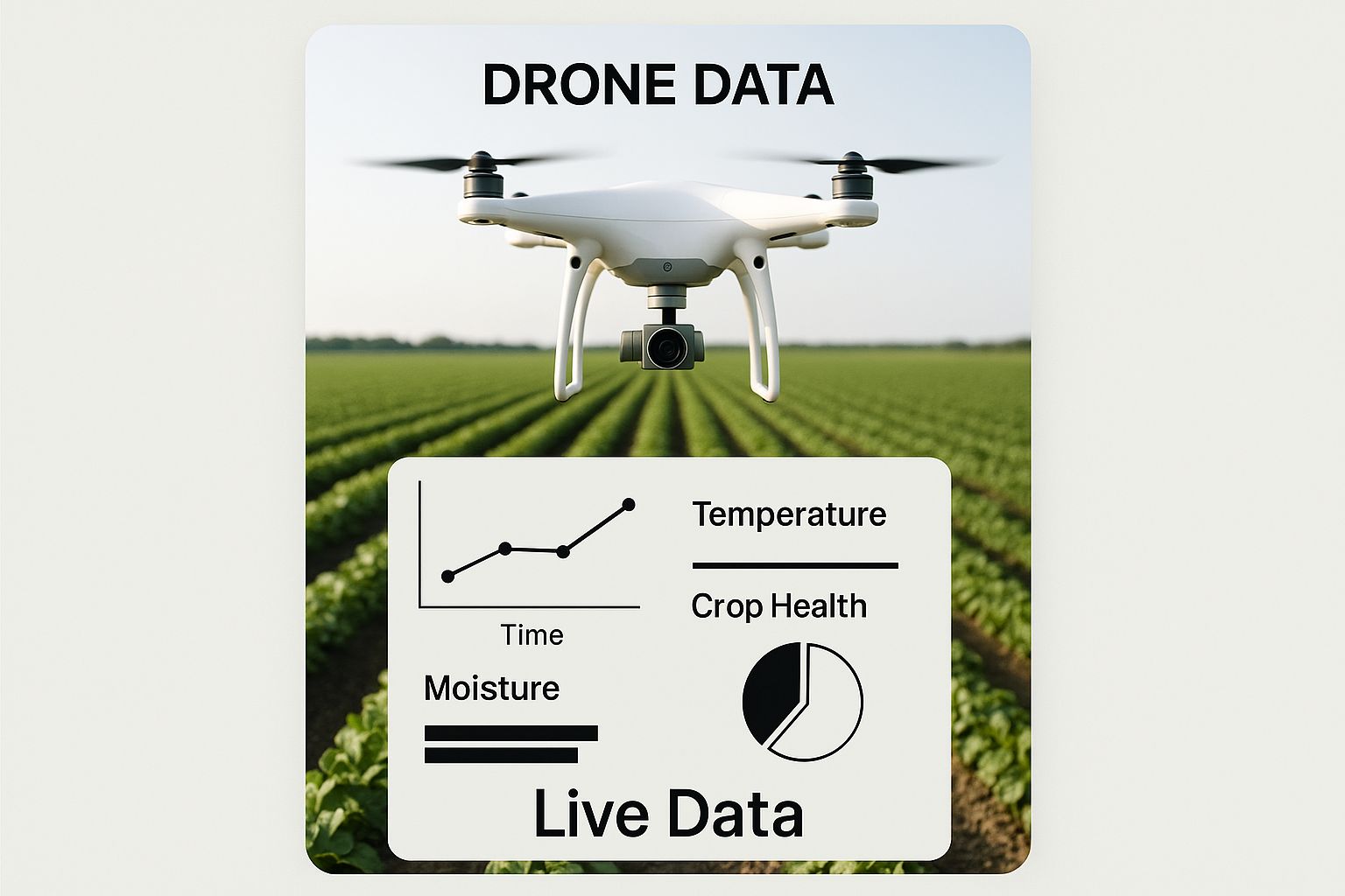
Drone technology adds another layer of intelligence when paired with GPS. A drone with a GPS receiver can fly exact, repeatable paths over a crop, capturing high-resolution images. This data helps find early signs of pest infestation, water stress, or nutrient deficiencies in specific areas. A farmer can then create a targeted spray prescription for that exact spot and send a tractor or another drone to fix the issue with minimal chemical use. This approach turns broad-acre farming into a highly targeted, plant-by-plant management system. For a deeper look at managing various assets, check out our GPS fleet management guide to transform your fleet operations.
Future-Proofing Your GPS Investment
Keeping up with these fast-moving advancements doesn't mean you need to buy every new gadget. The key is to build a solid foundation first.
- Prioritise Connectivity: Choose GPS systems that can easily share data with other platforms and software. This "open architecture" ensures your first investment won't become outdated as you bring in new tools.
- Focus on Data Quality: The value of future technologies like predictive analytics depends on clean, accurate historical data. Make sure your current GPS setup is capturing reliable information you can build on.
- Automated Compliance: As regulations change, GPS will become more important for automated compliance reporting and supply chain traceability, offering solid proof of practice from the paddock to the plate.
Investing in agriculture GPS tracking today is about more than just immediate efficiency gains; it's about building the digital infrastructure for the farm of tomorrow.
To ensure your operation is ready for the future with reliable communication and tracking solutions, explore the customisable systems and expert support available at Mobile Systems.
Related posts

- July 03, 2026
A radio bolted in badly is worse than no radio at all. Here's how fleet communication system installation is actually...

- July 01, 2026
These days, practically everyone walks around with a smartphone in their pocket. They're built to do just about everything. But...

- July 01, 2026
Outside our Bay of Plenty service footprint doesn't mean we can't help. Here's exactly what nationwide ordering gets you, and...